

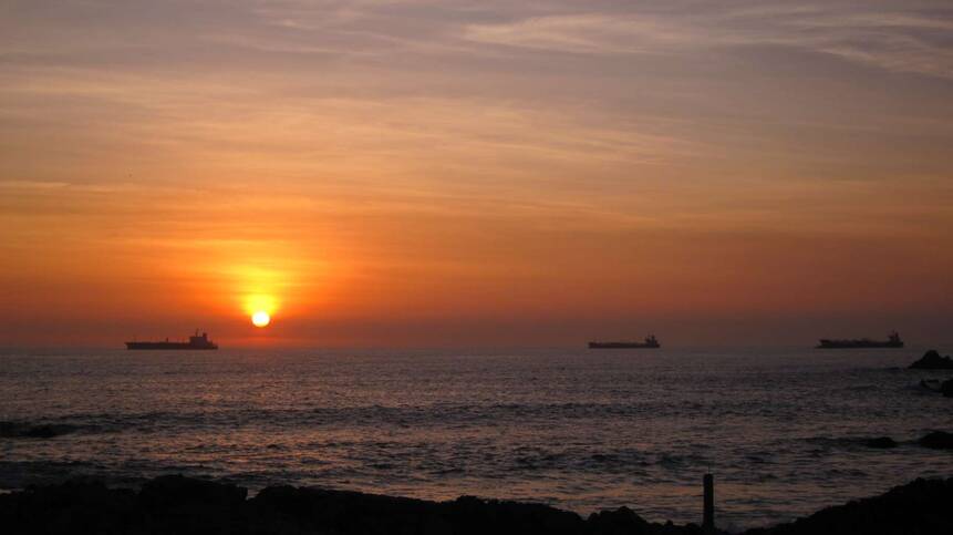
00
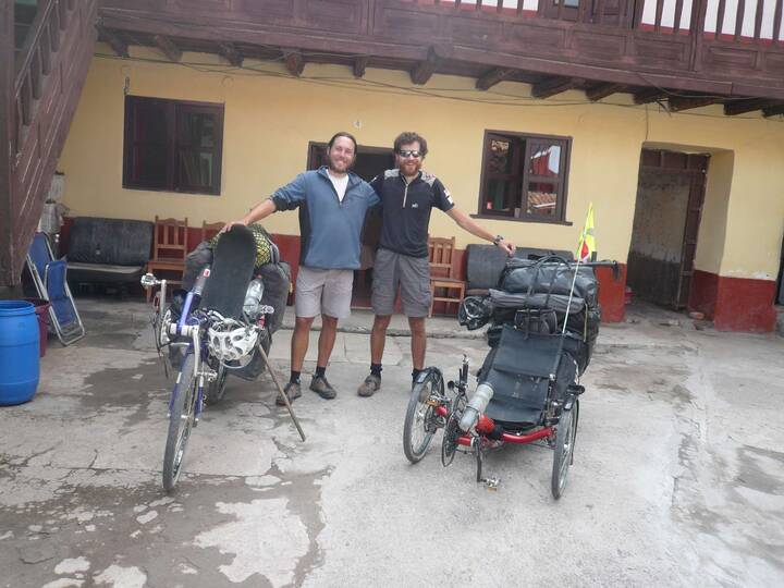
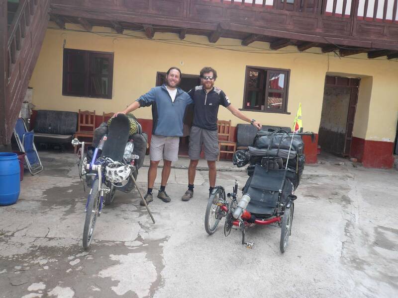
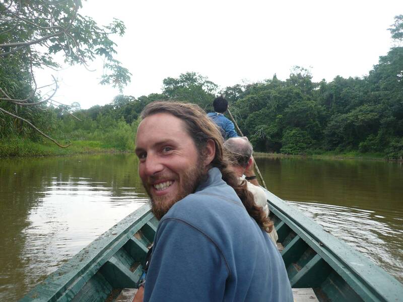
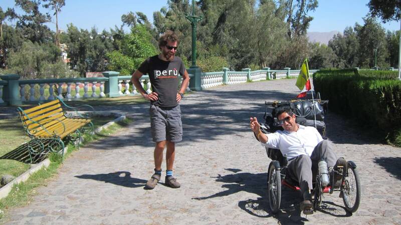
Cusco, the chapter with Dimitri from France, can start
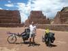
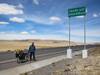
Ancient Inca toll station near Urcos

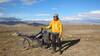
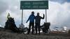
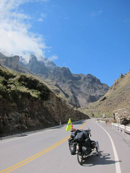
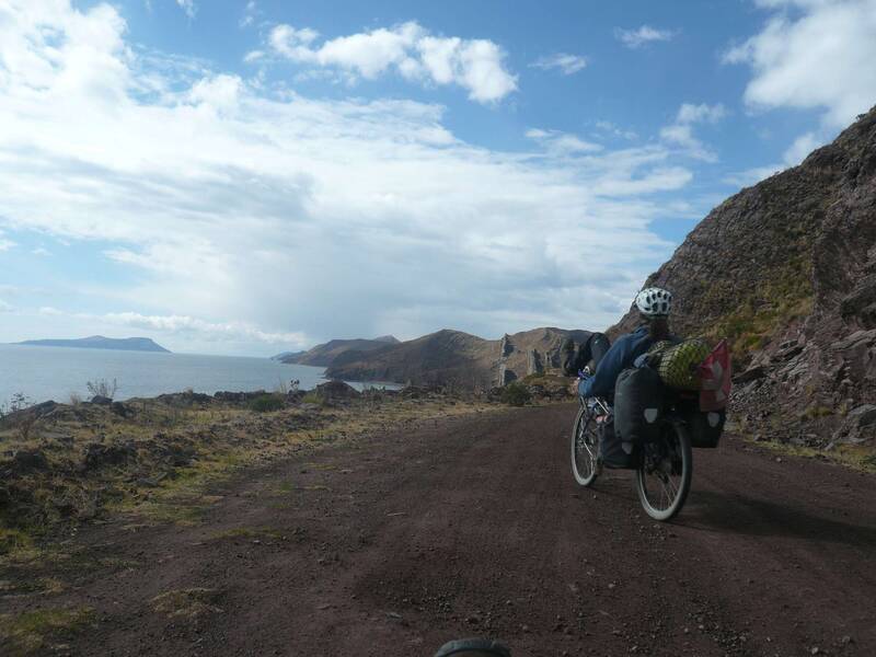
Abra Cuyuni, 4185m - We're about to cross the eastern mountain range.
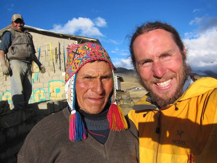
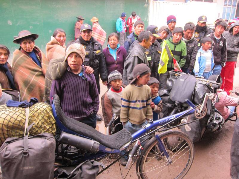
Please smile ! - They offered us a house to sleep on 4400m.

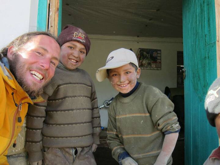
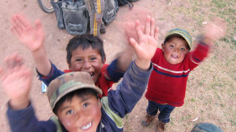
The kids liked having us and were always around us.
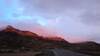
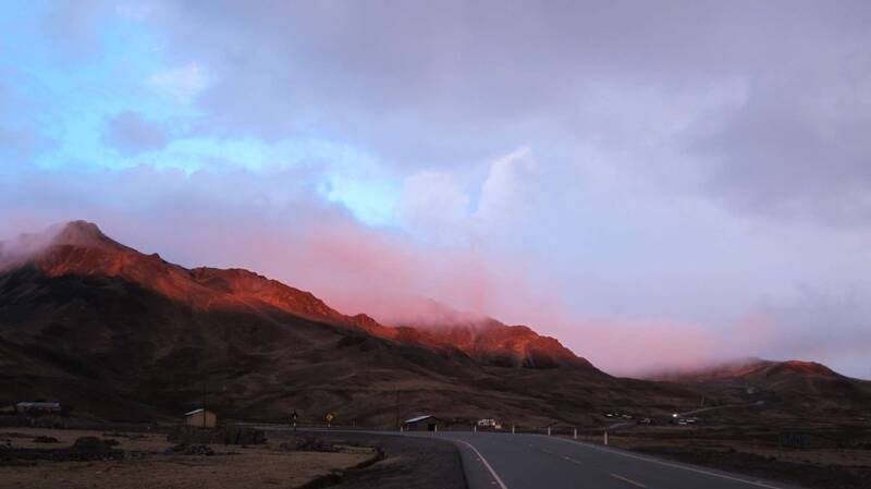
Alpenglühen? - "Andenglühen"

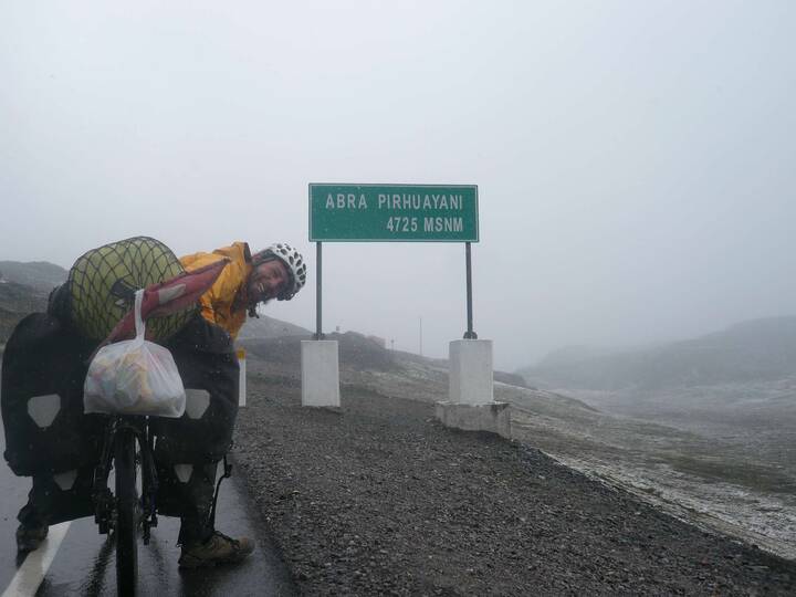
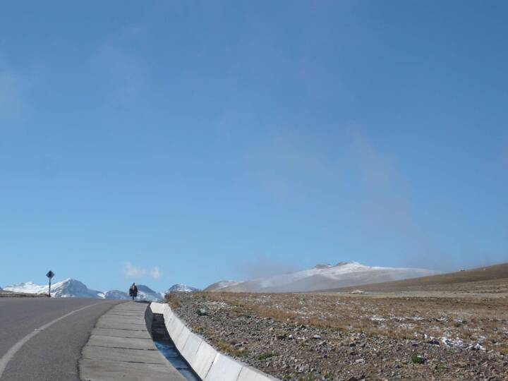
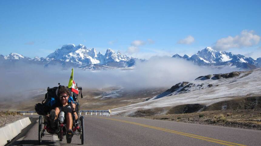
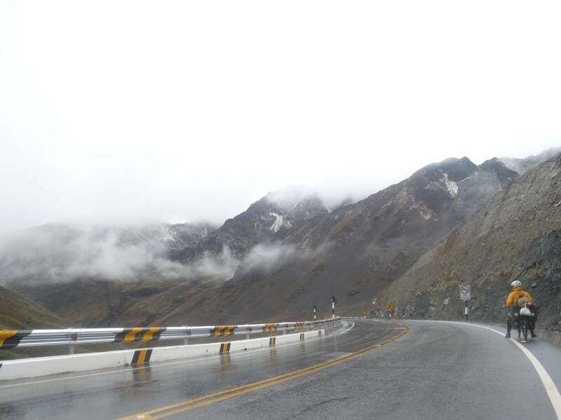
Abra Pirhuayani, 4725m - last barrier to the Amazonas
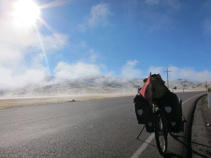
Getting ready...
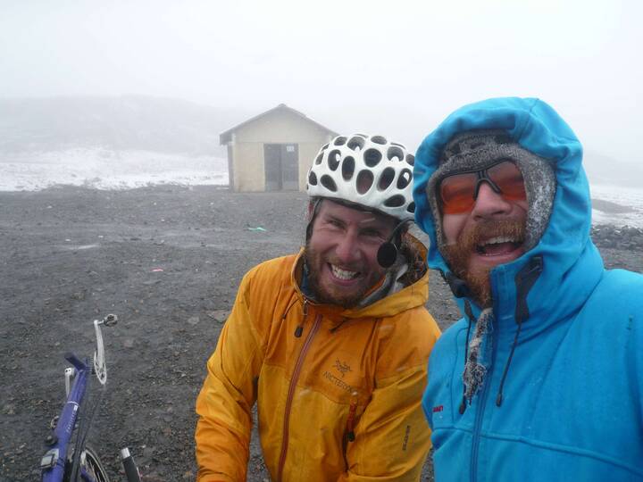

... for the coldest and longest downhill ever (4700m to 600m)

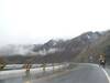
When the camera gets wet. - Entering the jungle.
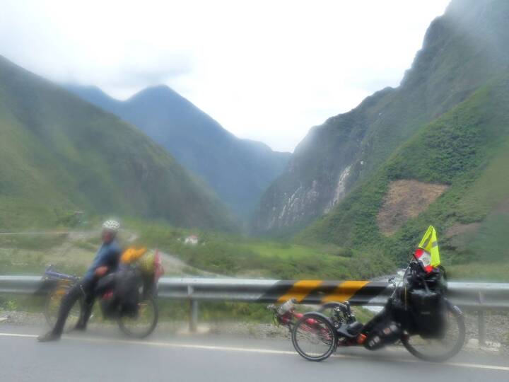

Done - on 600m, almost flat, hot and humid.
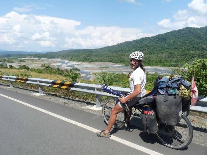

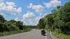
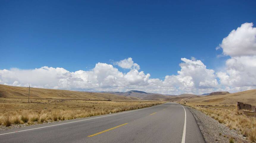
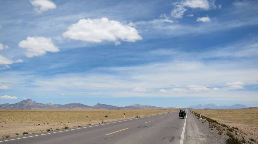
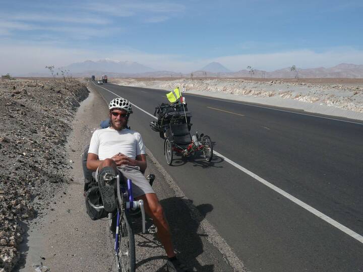
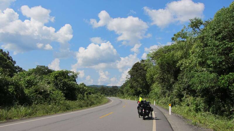
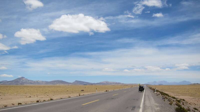
On the Interoceanic Highway - It was only completed a year ago.
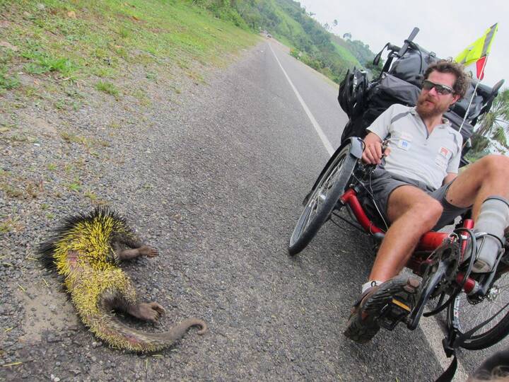
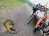
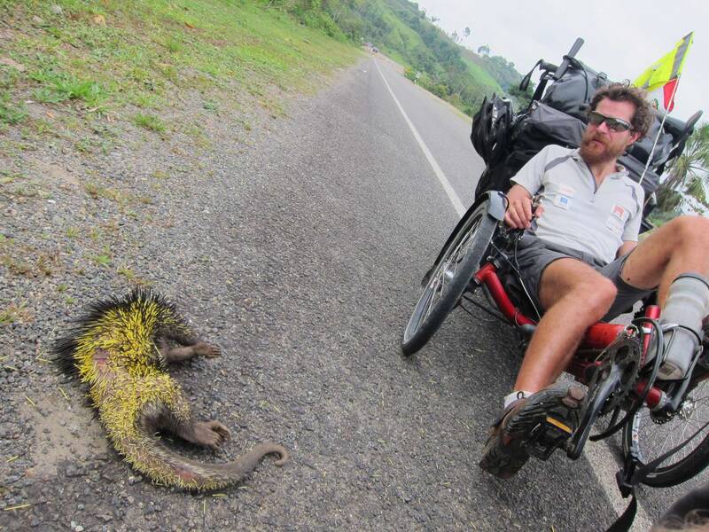
Dimitri, what have you done?
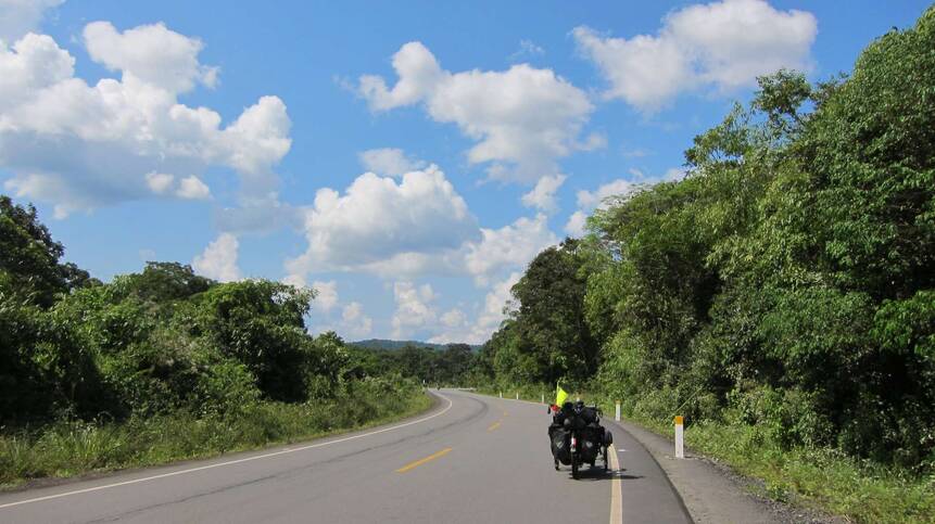
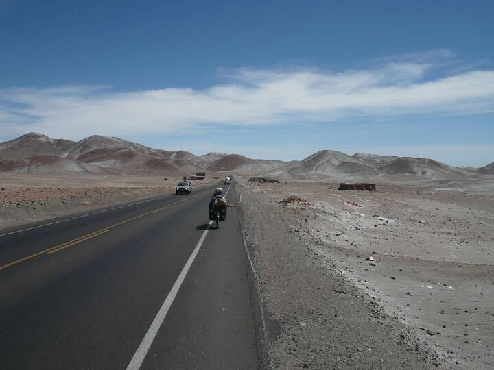
Typical view
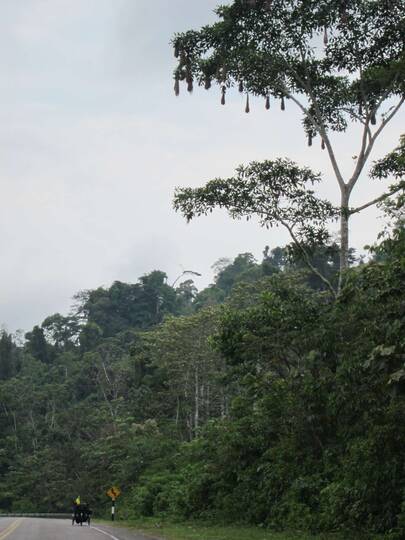

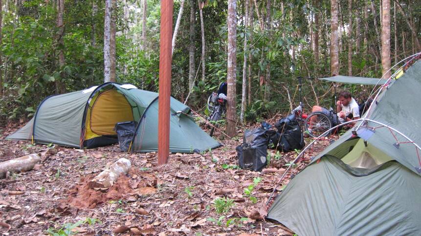
The forest starts just beside the highway; nice chance to camp behind a restaurant.
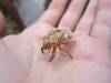
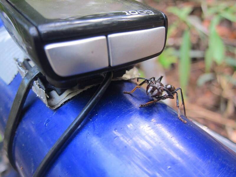
Don't cut my counter's cable, please! - a huge ant

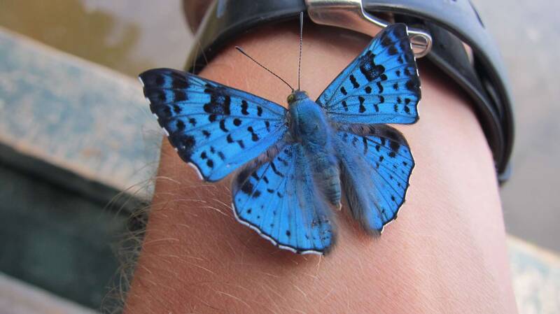
There are plenty of beautiful butterflies in the Amazonas.


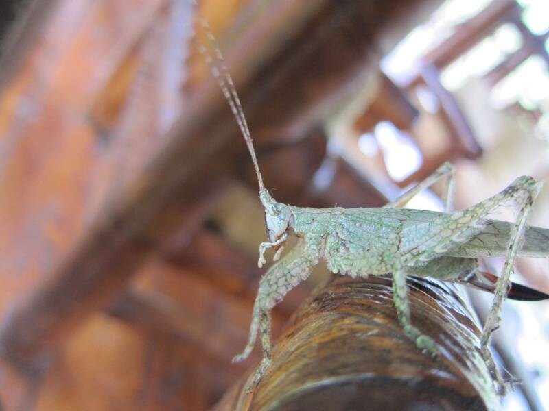
A grasshopper


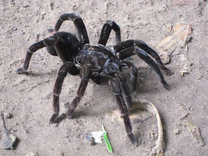
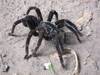
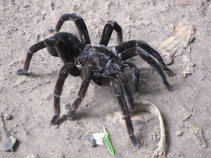
Poisonous Tarantula
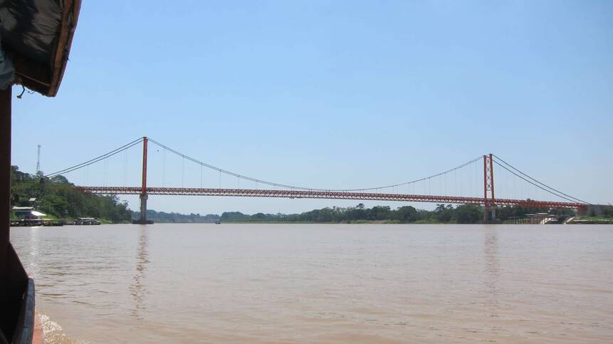
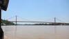
The bridge over Rio Madre de Dios beside Puerto Maldonado completes the highway to nearby Brasil.
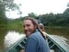
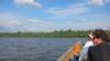
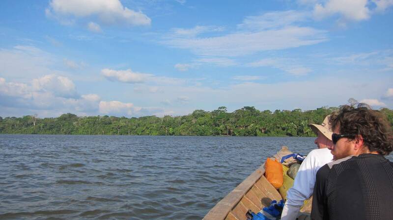
Jungle tour

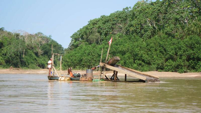
Dirty way of gold mining in Rio Madre de Dios (mercury method)


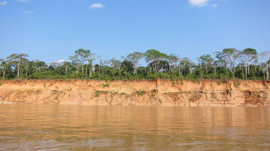
Rio Madre de Dios - low water level
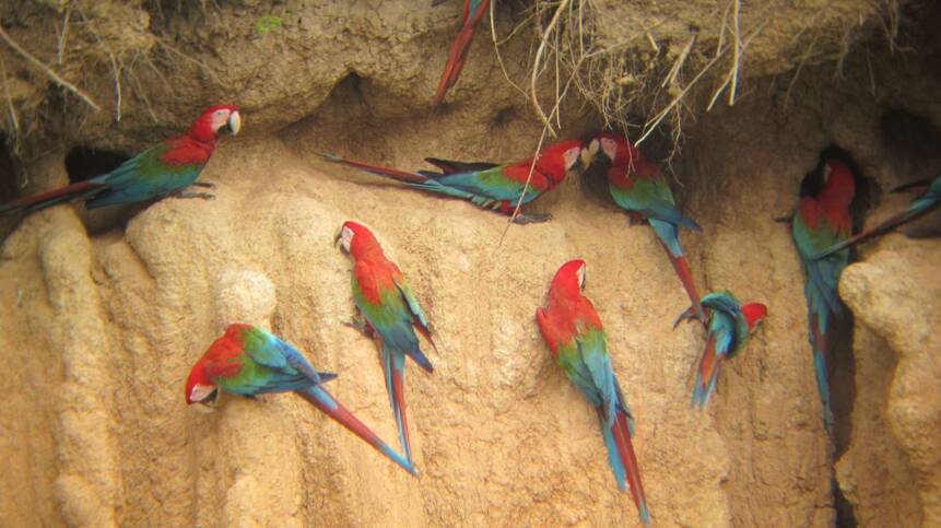
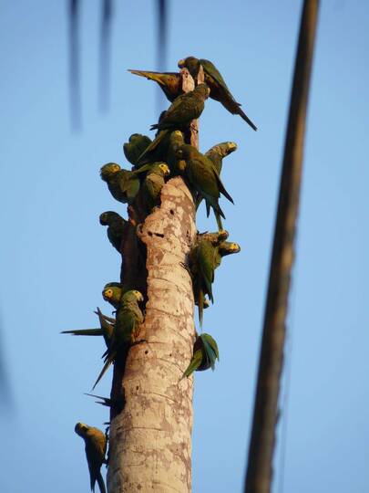
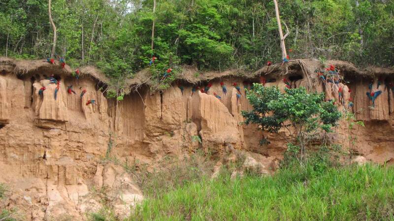
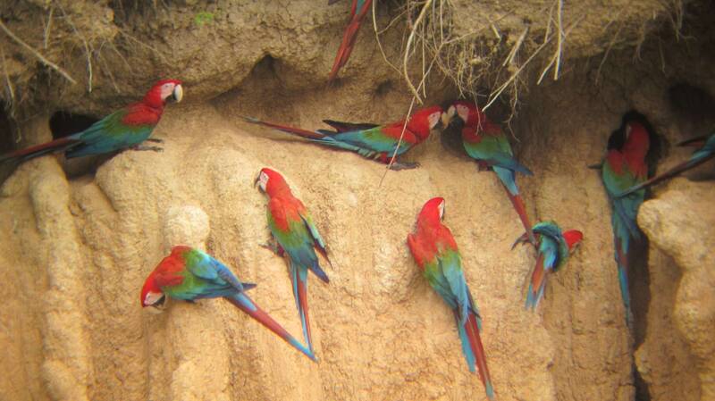
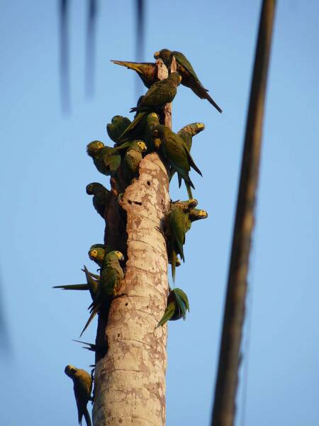
Visit to another Collpa de los Guacamayos - this time we were lucky:


The macaw parrots get together every morning...
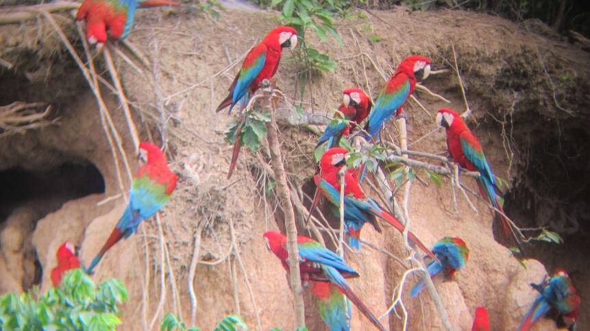
... to eat earth containing mineral.
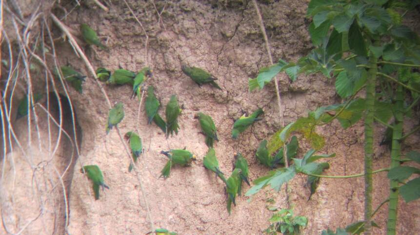
Many kinds of parrots do the same.
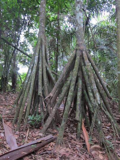
The jungle has got a lot to show: The walking trees

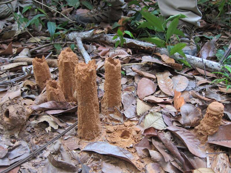
The houses of cicadas - they live four years in the ground...


...before they get through their metamorphosis and come out.

Visit to the lake Sandoval:

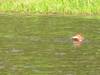
An otter having breakfast

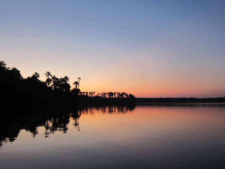
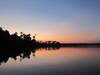
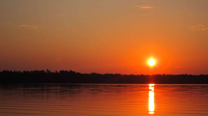
Awesome sunsets...


... over the calm lake
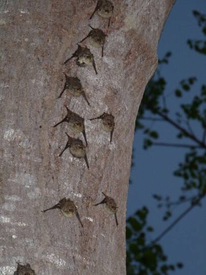
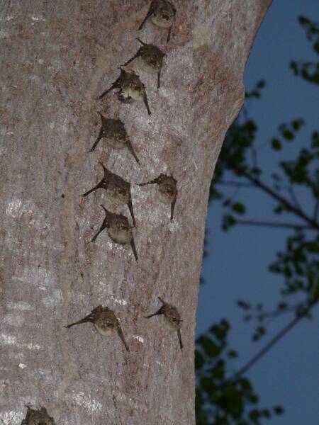
Bats hanging on a tree, waiting for the night

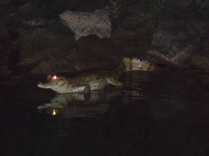
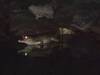
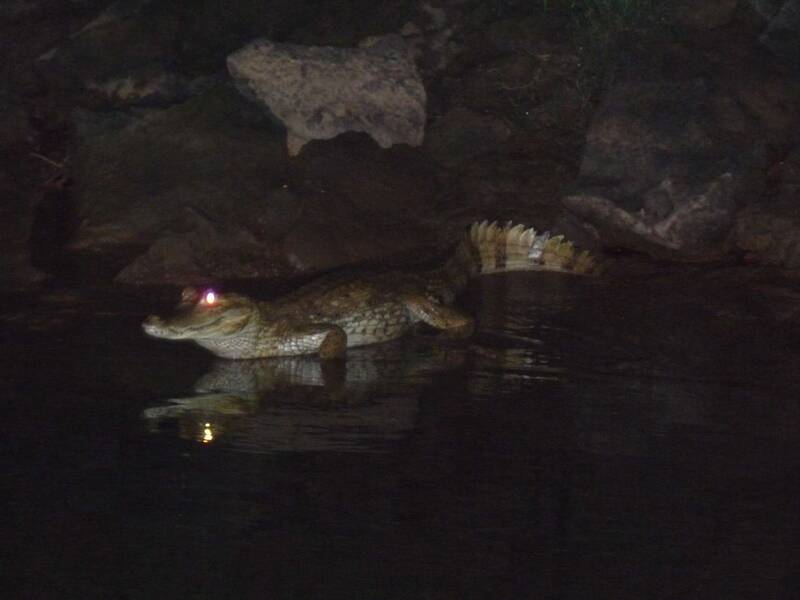
A cayman - by night easily to be found with a flashlight because the eyes reflect the light.
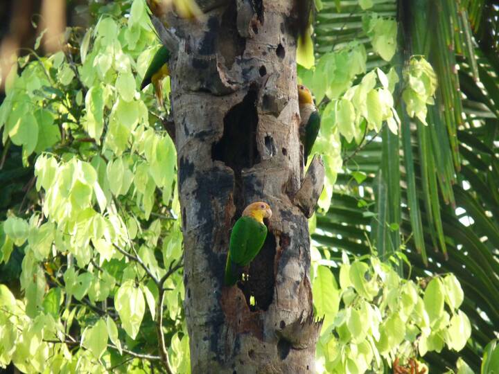
Small parrots...

... eating dead wood to balance the ph-value of their stomack.
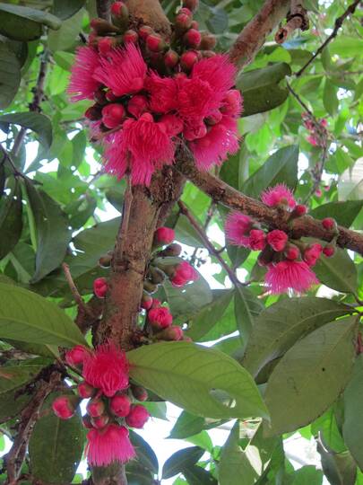
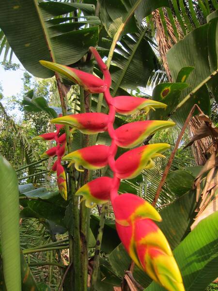
Colourful beauty...


... in the Reserve Tambopato

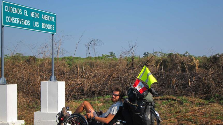
Leaving Pto Maldonado, the sign says: "..., let's preserve the forests!" - No way.
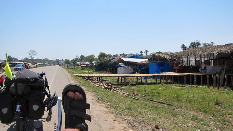
Along the new Interoceanic Highway several new villages are popping up.

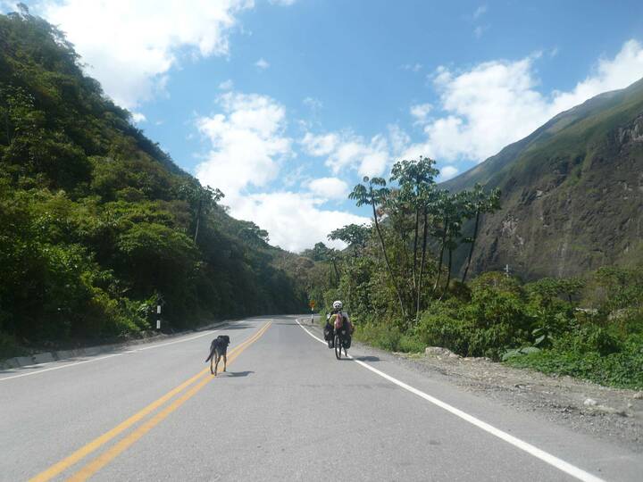
Climbing back up the Andes: A watch dog followed us and accompanied us a day long.
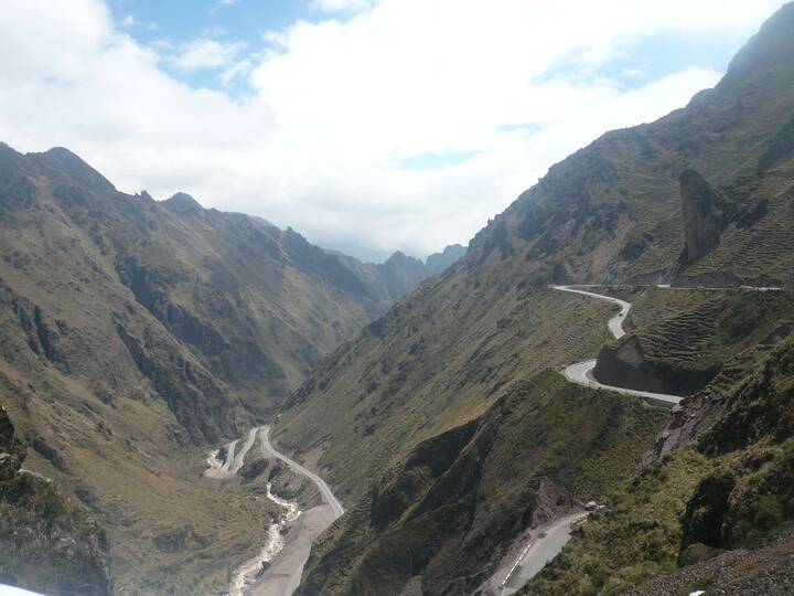
One pass...


...in three days (600m to 4800m)

Macusani, within two minutes 40 people around us, it can stretch the nerves.

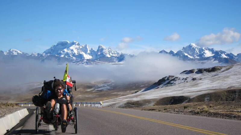
Higher and higher
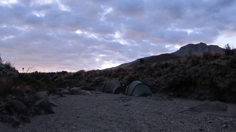
Early morning on 4500m
Dimitri near the top with Cordillera Carabaya at the back (>6000m)
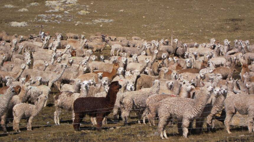
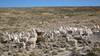
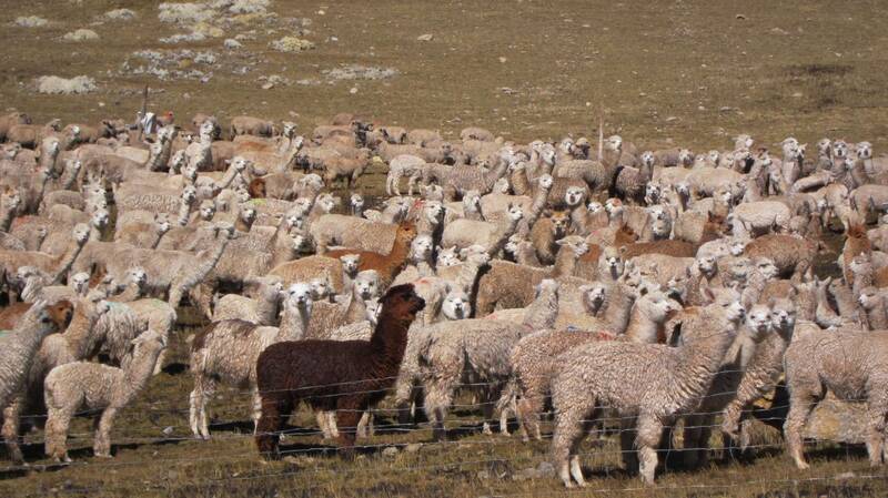
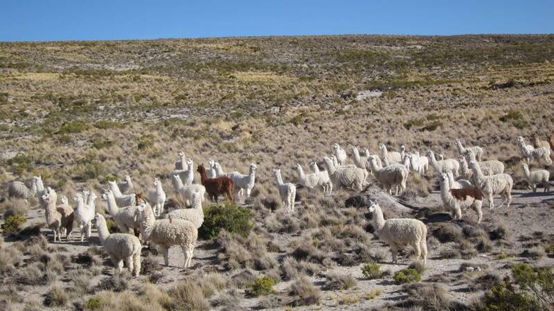
It is the alpaca's home up here.
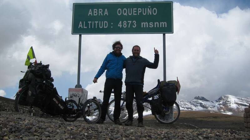
Finally we reached the pass: Abra Oquepuño, 4873m

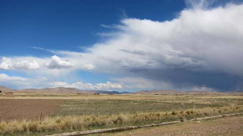
Approaching the Altiplano north of Lake Titicaca

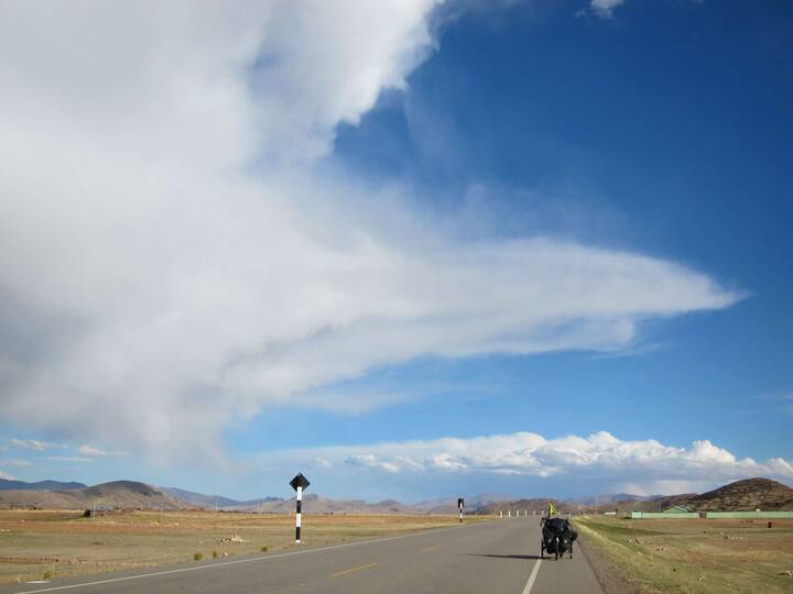
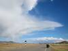
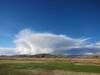
The day...
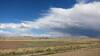
... with the funniest clouds:
Azángaro ahead

A desolated road leads us to...


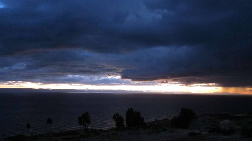
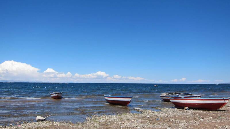
... the Lake Titicaca...
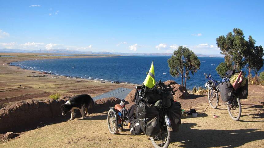
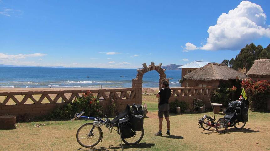
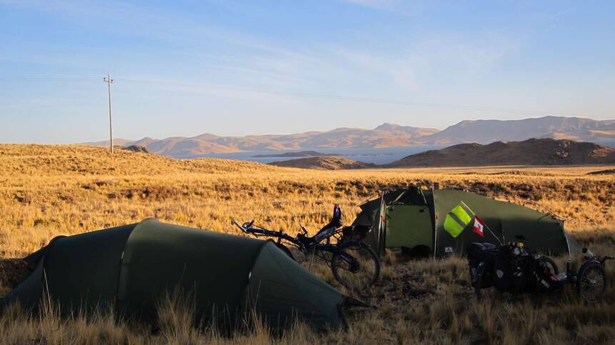
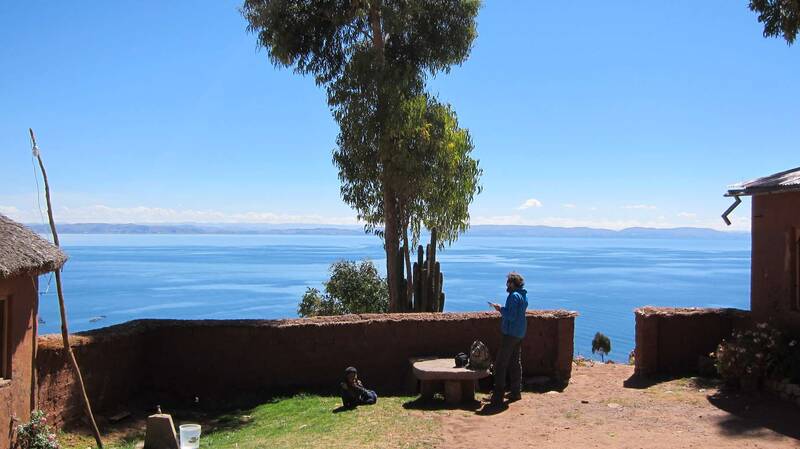
... where we relaxed for two days on the Peninsula Capachica.

Sweet indigenous kids welcomed us.


The lake on 3800m is wide like the sea.


The mountains in the very right end are already Bolivian territory.

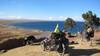
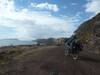
The Peninsula Capachica is very nice and safe. - We can recommend it to other cyclists.

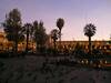
Another stop in a hostal just beside the lake

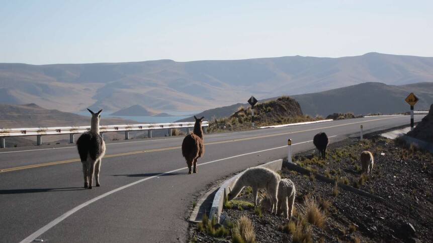
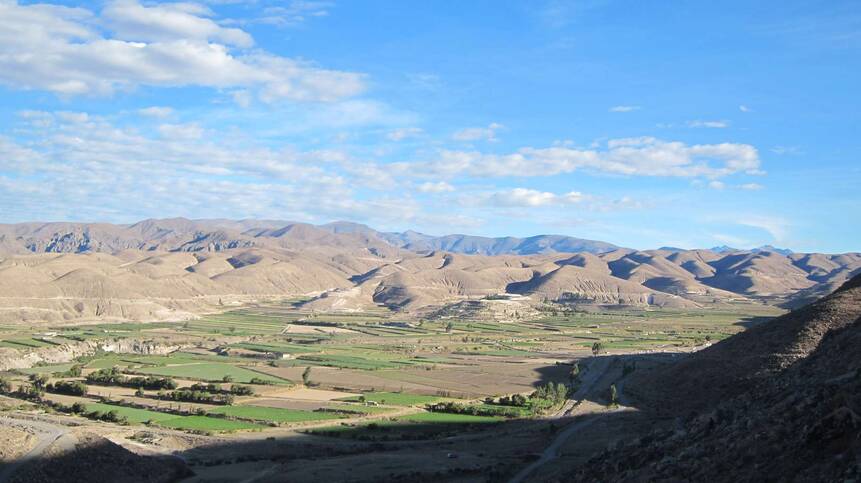
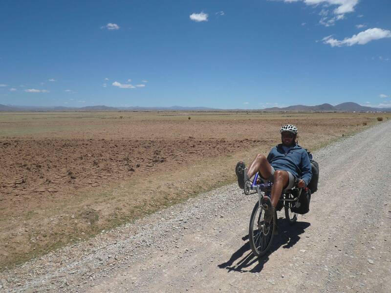
From Juliaca to Arequipa: Camping beside Lagunas Lagunillas
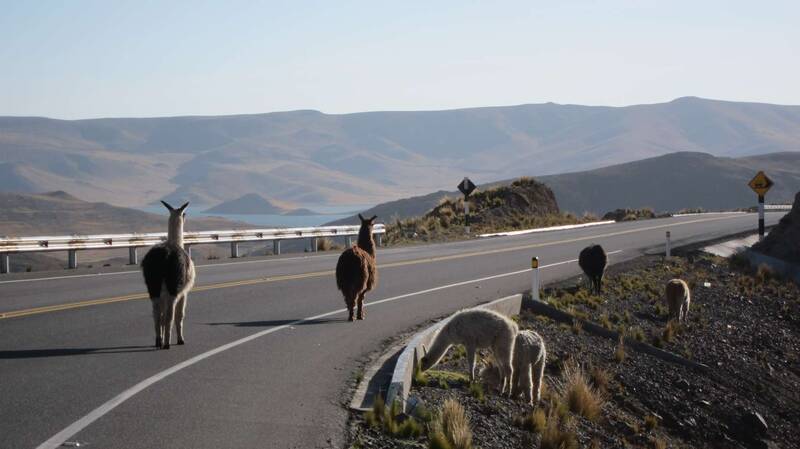
Lamas on the road, not shy at all.
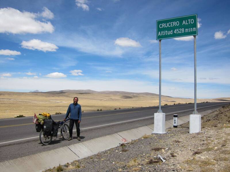
Crucero Alto, 4528m - the pass to the coast

Crossing National Reserve Salinas Aguada Blanca
Lamas all over - Do they not look like giraffe sheep?

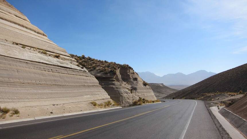
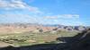
Towards Arequipa: The countryside is shaped by volcanic sediments.
The night forced us to stealth camp beside the highway in a dry river.

It is getting dryer, we are reaching the costal climate.
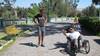
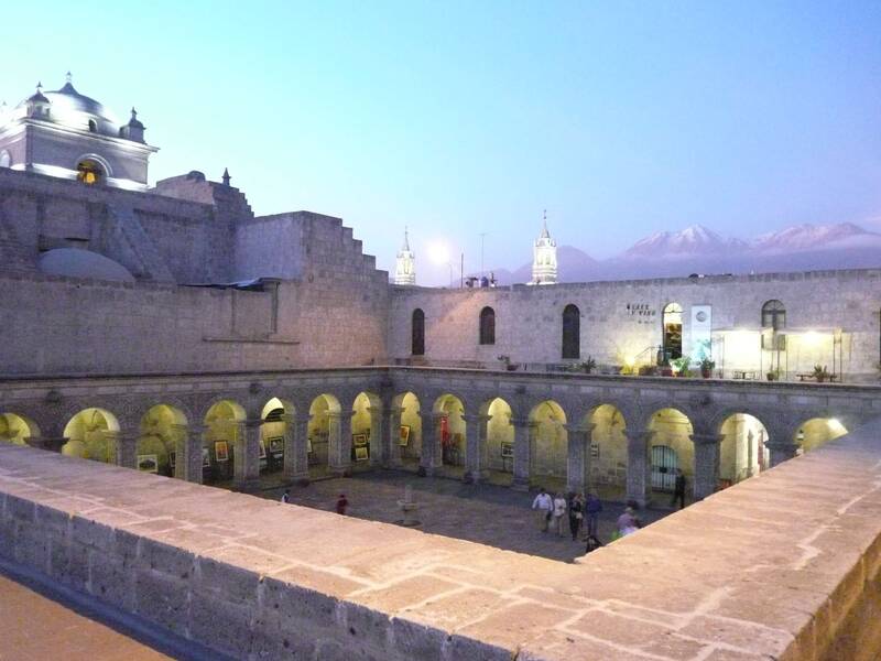
Arriving in Arequipa: Bruno, our nice host, is guiding us.

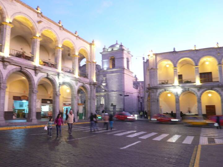
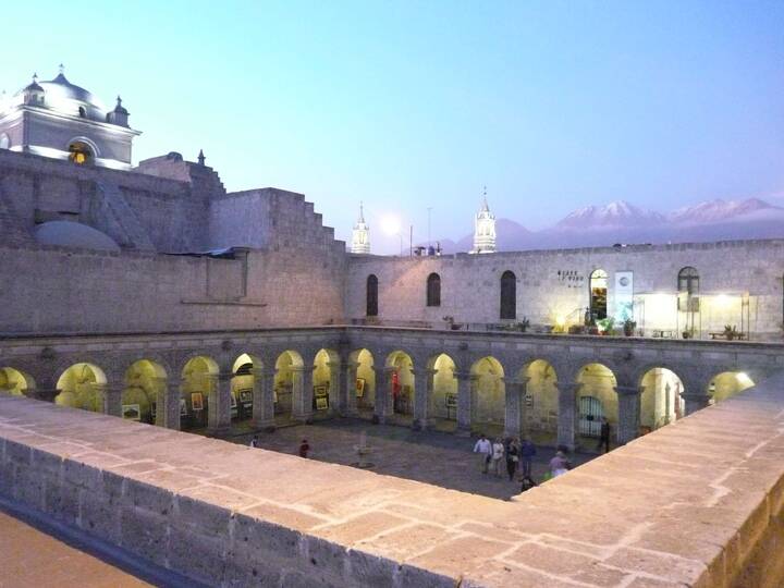
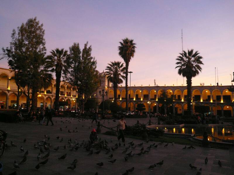
The nice Plaza of Arequipa

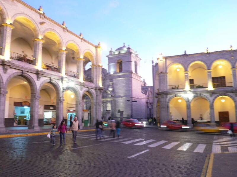
Arequipa - called White City: Built of white volcanic stones

I liked Arequipa most of all cities of Peru.

Leaving Arequipa, volcanoes Chachani and Misti at the back.
Peru has got a lot of faces:

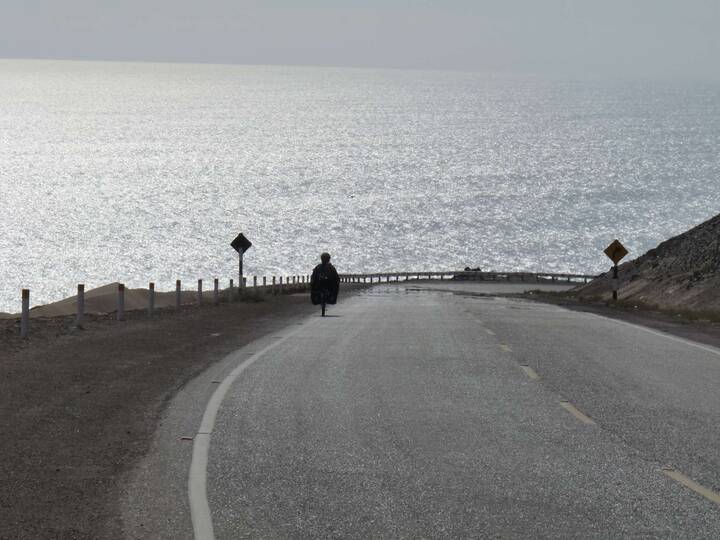
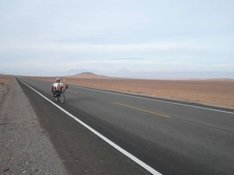
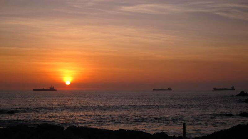
The last chapter leads us through the costal desert.
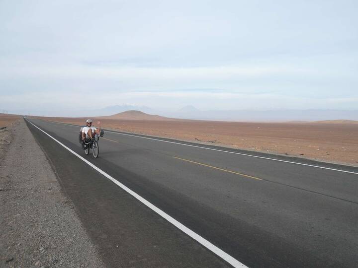
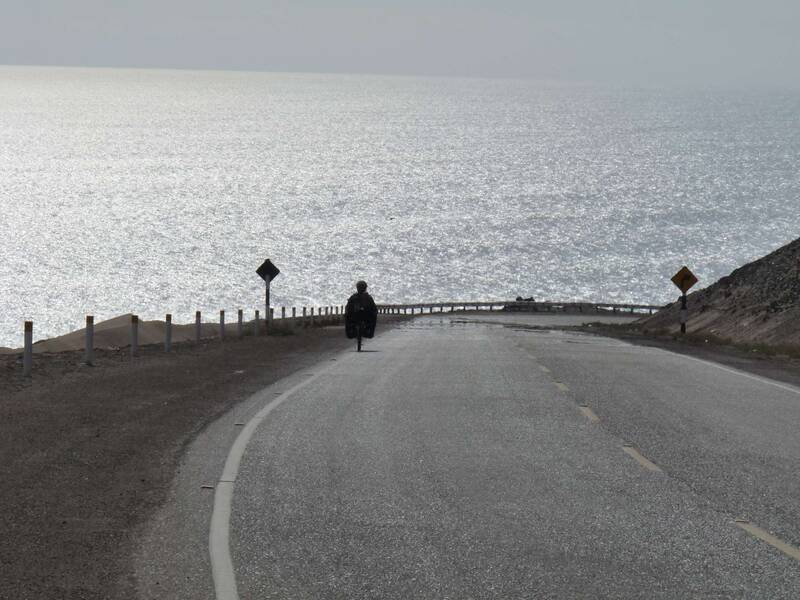
In the South the coast is safe and we enjoyed the ride.
After 108 days and more than 5600km in Peru with a lot of surprises ;-) I can finally say: Goodbye Peru.